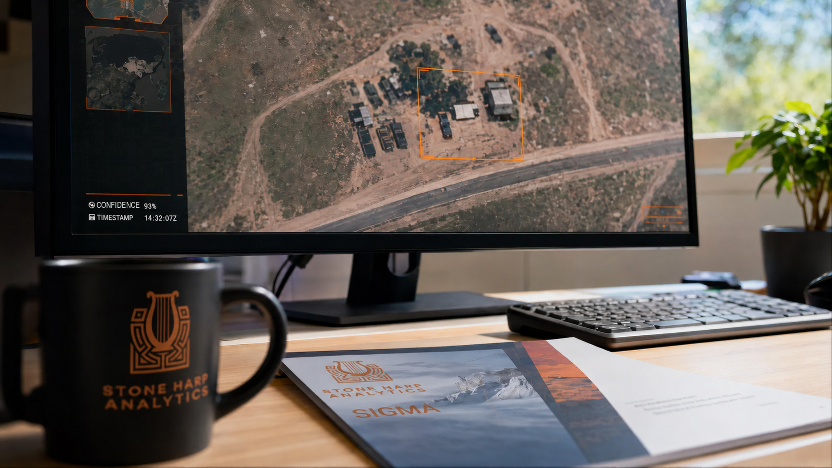
On-demand service connects organizations and individuals with senior analysts for rapid answers from satellite imagery and geospatial data.
SIOUX FALLS, SD, UNITED STATES, July 27, 2026 /EINPresswire.com/ — Satellite imagery and geospatial data can reveal what is happening almost anywhere in the world, but turning that information into a reliable answer still requires experienced analysts.
Stone Harp Analytics today announced the launch of SIGMA, an on-demand geospatial intelligence service that gives humanitarian organizations, businesses, nonprofits, researchers and individuals direct access to senior analysts without maintaining an internal intelligence team or entering into an expensive, inflexible contract with a large corporation.
Stone Harp Analytics offers a different model: an agile, flexible service tailored to the customer’s question, timeline and budget.
Customers bring SIGMA a location, a question or an emerging situation. Senior analysts identify the appropriate data, conduct the analysis and deliver clear findings that can be used to support real-world decisions.
“When an organization is responding to a crisis or making a time-sensitive decision, access to reliable information can change the outcome,” said Scott Taylor, CEO of Stone Harp Analytics. “We created SIGMA because organizations should not need a large intelligence budget or an internal analytic staff to get reliable answers from geospatial data. SIGMA gives them direct access to senior analysts who can turn complex information into answers they can act on.”
SIGMA is particularly suited to humanitarian assistance and disaster response. When a crisis occurs, organizations often need answers before they can safely reach the affected area. Which communities are isolated? Are roads and bridges still passable? Where is damage concentrated? Where should limited personnel and resources be sent first?
Aid organizations can use SIGMA to assess communities affected by floods, earthquakes, wildfires, landslides or armed conflict; identify potentially damaged infrastructure; evaluate transportation routes and access conditions; monitor changes across an affected area; and prioritize the delivery of food, medical support, shelter and assessment teams.
This information can be especially valuable when local reporting is incomplete, communications are disrupted or conditions make it difficult or dangerous to send personnel into the field.
SIGMA can also support nonprofit organizations, journalists, legal teams, insurers, infrastructure operators, researchers, corporate security teams and private individuals who need an independent assessment of a location or event. Applications may include documenting environmental change, evaluating damage to property or infrastructure, examining reported activity at a remote site, supporting due diligence and monitoring areas that are difficult to reach.
An individual customer might be a property owner seeking to understand damage in an inaccessible area, a journalist working to verify reported events, an attorney seeking independent geospatial findings or a researcher examining changes to land, infrastructure or the environment.
Customers do not need to be imagery experts or know which satellite system to request. They begin with the question they need answered. Stone Harp Analytics helps define the area of interest, determines what can reasonably be learned and recommends an approach suited to the customer’s timeline and budget.
SIGMA engagements are run by senior analysts with extensive experience supporting government, commercial and humanitarian missions around the world. The service combines professional imagery interpretation, geospatial analysis and open-source research using lawful, unclassified commercial data selected for the customer’s specific requirement.
Depending on the requirement, deliverables may include a written intelligence report, annotated imagery and structured geospatial layers identifying affected areas, observed features, points of interest and other relevant findings.
SIGMA offers rapid-response reporting for time-sensitive situations as well as multi-day and longer-term assessments for more complex requirements. Turnaround options range from less than 12 hours to extended monitoring and strategic analysis. Delivery timelines may depend on satellite availability, weather conditions, the complexity of the question and whether new imagery must be collected.
“Sometimes a customer needs a detailed assessment of a complex event,” Taylor said. “Sometimes they simply need an expert to look at an image and tell them what they are seeing. SIGMA was built to serve both.”
Every request is reviewed before acceptance. Stone Harp Analytics does not support sanctioned entities, prohibited activities or requests that violate applicable law, privacy protections or responsible-use standards.
Organizations and individuals can learn more about SIGMA or submit a request at:
https://stoneharpanalytics.com/spatial-imagery-and-geospatial-monitoring-analytics/
About Stone Harp Analytics
Stone Harp Analytics is a veteran-founded intelligence and geospatial analysis company providing decision-ready intelligence to government, commercial and humanitarian customers.
Scott C Taylor
TayBec LLC dba Stone Harp Analytics
+1 312-788-8499
email us here
Legal Disclaimer:
EIN Presswire provides this news content “as is” without warranty of any kind. We do not accept any responsibility or liability
for the accuracy, content, images, videos, licenses, completeness, legality, or reliability of the information contained in this
article. If you have any complaints or copyright issues related to this article, kindly contact the author above.

Media gallery